


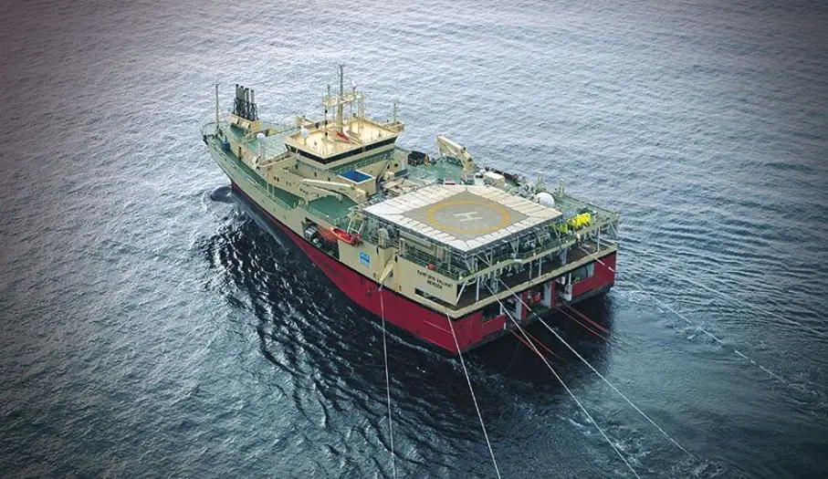
Launch Of A New Multi Client Seismic Reprocessing Program
TGS has started a new seismic reprocessing program for multiple clients that will focus on the geologically complicated Bonaparte Basin region off the coast of Australia. The goal of the project is to improve subsurface clarity by using modern imaging workflows that make it easier to understand exploration data. This effort is a response to the growing need for higher-resolution seismic data in a market where offshore acreage evaluations are becoming more competitive.
TGS wants to get more value out of its existing seismic investments by reprocessing old datasets with new technologies. The program helps energy companies get better geological information without having to start new seismic acquisition campaigns from scratch. These kinds of projects help balance the risk of exploration, the cost-effectiveness of exploration, and the quality of the data across offshore Australia.
Source: Splash247/Website
Survey Coverage Across Important Bonaparte Basin Data Sets
The reprocessing project includes a number of large surveys that look at both 2D and 3D seismic datasets. Some of the surveys are Cygnus 3D, Cartier 3D, Grand Ashmore 2D, and Vulcan 2D, which are all off the coast of Australia. These datasets together make up a complete seismic foundation that covers many structural and stratigraphic provinces.
By putting these surveys together into a single reprocessing project, we can make sure that imaging standards and interpretation frameworks are the same across the board. This method cuts down on the number of times older datasets do not match up because they were processed using different historical methods. Better consistency helps geological studies across the basin and makes prospect scale evaluations more reliable.
Advanced Depth Migration for 3D Seismic Imaging
The Cygnus and Cartier 3D surveys will go through a full Pre Stack Depth Migration processing workflow. Full Waveform Inversion is a part of this workflow that makes building velocity models much more accurate. Better velocity models make it easier to see under complicated structures that are common in the Bonaparte Basin.
Using advanced depth migration methods can help fix problems caused by changes in lateral velocity and the complexity of the geology. These changes make people more sure of the results of depth positioning and structural interpretation. As a result, explorers get more reliable subsurface representations that help them make decisions about exploration.
Recommended Article: AI Revolutionizes Marine Pollution Cleanup Worldwide
Creation Of A Large Contiguous 3D Volume
After being reprocessed, the 3D surveys will be perfectly matched and combined into 1 continuous seismic volume. The combined dataset will cover about 8,735 km² of the Bonaparte Basin that is offshore. This scale gives a continuous view of the region without any fake lines between different surveys.
Interpreters can map structures and stratigraphy across larger geological trends when they have large, connected volumes. This continuity helps us better understand how basins change over time and how plays are connected. It also makes it easier to find small details that were hidden by dataset fragmentation.
Reprocessing Strategy For 2D Seismic Data
We will use advanced demultiple processing techniques to reprocess the 2D datasets from Grand Ashmore and Vulcan. These workflows get rid of unwanted seismic multiples that can hide deeper geological reflections. Building a tomographic model with multiple iterations makes the velocity accuracy even better in the subsurface section.
The reprocessing will yield a high-quality tilted transverse isotropy pre-stack depth-migrated dataset. The final outputs will be combined and matched to make a clear 2D regional framework. The updated dataset will include about 10,768 line km of data from offshore Australia.
The Bonaparte Basin Region’s Geological Significance
The Bonaparte Basin is an offshore area with a lot of different types of rocks and structures. The Jurassic Plover and Montara sandstones are 2 of the most important exploration targets because they are known to hold hydrocarbons. In the past, regional operators have been very interested in exploring these units.
Other possible intervals are the Triassic Challis sandstones, the Permian carbonate systems, and the Cretaceous submarine fan deposits. For checking the presence of a reservoir and the integrity of a trap, it is very important to get accurate images of these intervals. Better seismic clarity helps us understand how complex basins are and where plays are located.
Exploration Impact And Strategic Value For Offshore Australia
The reprocessing project should make it much easier to see deeper and more technically difficult geological plays. Better visibility below the surface helps with regional interpretation and prospect screening activities that require more confidence. This clarity is especially important as operators look at future offshore licensing opportunities.
TGS helps clients lower their risk and uncertainty by giving them better seismic data. Better datasets help people make smart choices at all stages of exploration, appraisal, and portfolio planning. The project uses advanced seismic intelligence solutions to improve Australia’s offshore data infrastructure.